News
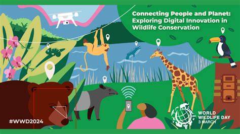
Today is World Wildlife Day. This special day is celebrated every year on 3rd March to celebrate wild animals and plants. Every year, the unique roles and contributions of wildlife to people and the planet are recognised. The theme for this year is ‘Connecting People and Planet: Exploring Digital Innovation in Wildlife Conservation’. Ever since our creation, 40 years ago, the Mauritian Wildlife Foundation has been using some of the latest electronic, digital, and technological innovation, in its conservation projects. For example, in the 1980s, we were tracking our birds with VHF radio tracking systems and had VHF/UHF and marine radios for communications. In the 1990s, we adopted the use of GPS technology. Some of these technologies still have their value in the 2020’s. These systems have helped the organisation in saving our biodiversity. We have compiled a list of the main technological innovations which are being used today to give you an idea of how they work and what can be achieved through them.
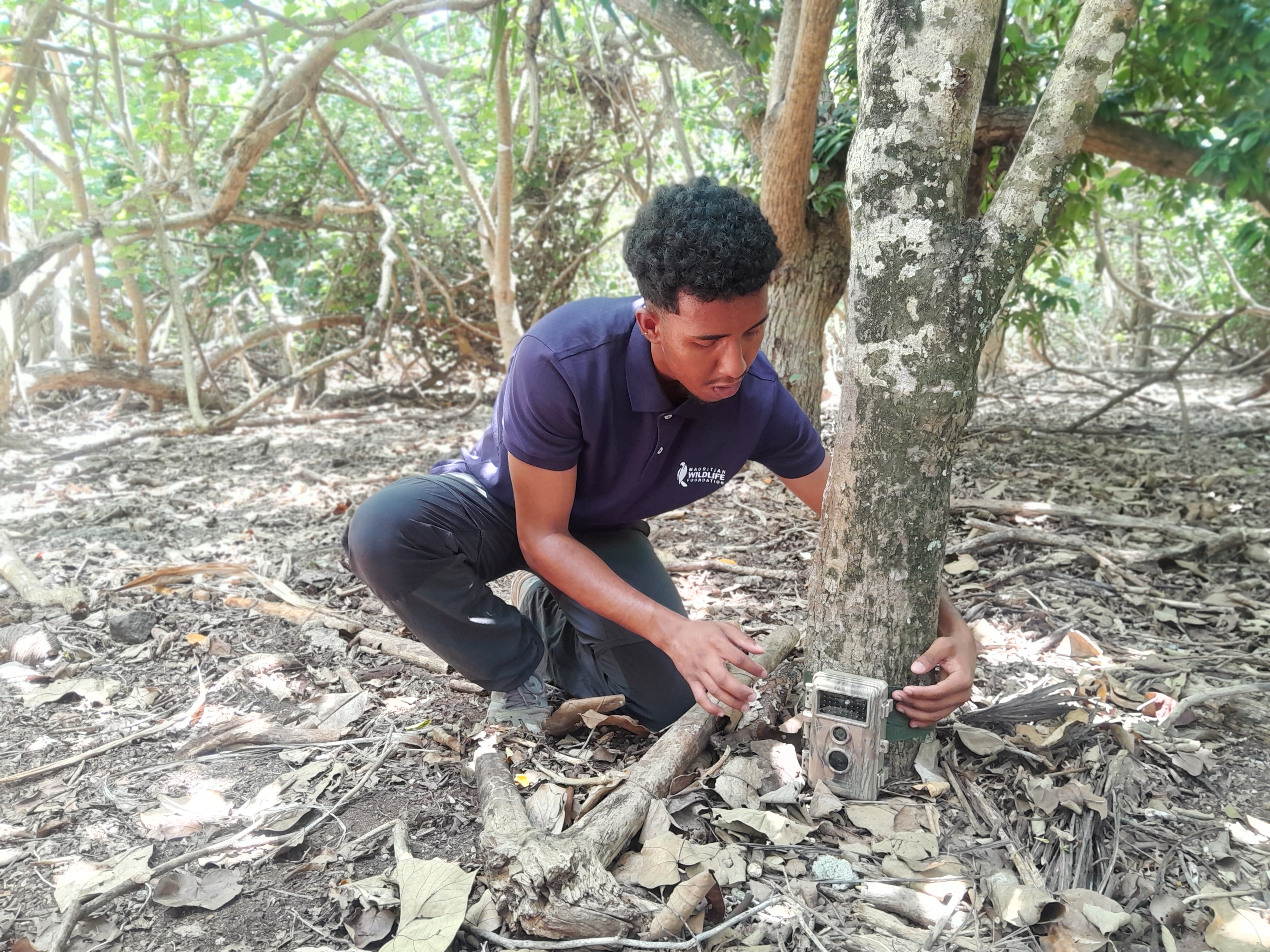
Camera trap
A camera trap is a remote device used in many fields of conservation. Its function is to take a picture or a video of any animal that passes in the field of the device. It is set to be automatically triggered by a motion sensor, usually a passive infrared (PIR) sensor or an active infrared (AIR) sensor using an infrared light beam. A camera trap can be used to make species inventories, for behavioural studies or to detect the presence of a focal species (endemic or invasive) in a zone. It has often been used to detect species that are rare and even believed extinct, or very elusive animals. Animal behaviours and interactions that had never been seen by human observers have been caught in camera traps. We have used camera traps to detect invasive alien species such as rats, cats, mongooses, tenrecs, and crows.
PIT tagging
The Passive Integrated Transponder (PIT) tagging is a system that enables scientists to recognize each individual animal through a unique code, like an identity number. On Ile aux Aigrettes, our teams insert PIT tags in tortoises,which serve as a permanent concealed marker. Then, with the help of a PIT tag reader, not dissimilar to a supermarket scanner, scientists get access to the identity of the animals in the field, which can be related to the life history of the tagged individuals, such as birth, diseases, injuries, reproduction, growth rate, survival, movement, interactions etc. We equally tag other animals such as Round Island Boas, Telfair’s skinks and fruit bats.

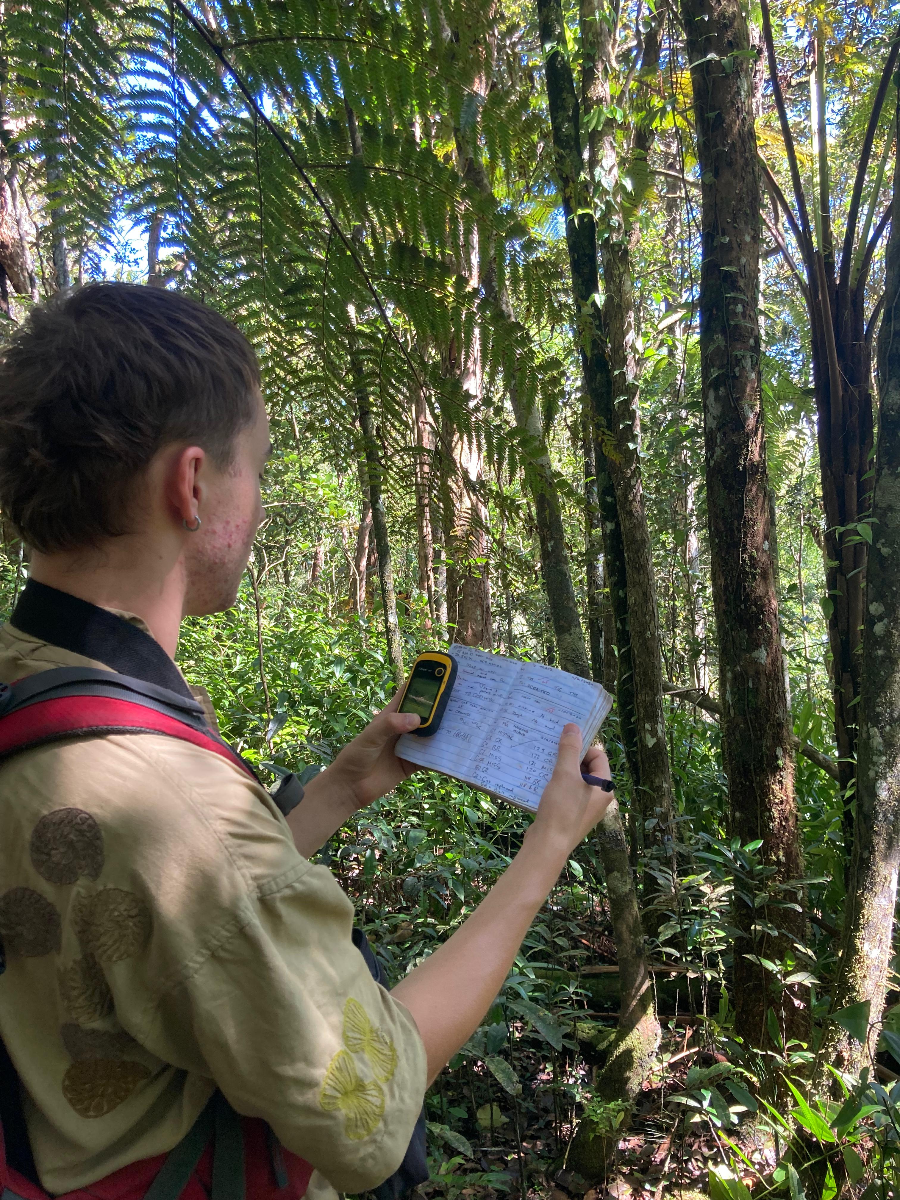
GPS units and GIS mapping software
MWF Conservation Biologists use handheld Global Positioning System (GPS) units to collect geographical coordinates to mark important observations. These units rely on satellites that triangulate the position of our GPS units and then provide us with position details. This information is used to collect important observations such as the location of individual birds, nests, feeding sites, amongst others . The GPS information collected is then used to map the species using specialist mapping software. The software often utilized by MWF is QGIS, a professional open-source GIS (Geographic Information System) application. Coordinates collected by handheld GPS units are transferred to a computer and then are displayed on a map using QGIS. One common use of QGIS is to create territory maps, these are areas that are demarked with a ‘polygon’ that is created based on multiple observations of breeding pairs within their territories (the area that they consistently defend against other individuals of the same species). Territory maps are useful as they can inform our fieldwork e.g. they can give indications of areas that require further searching, or can help us learn more about our species such as changes in their population and distribution, use of the forest and habitat preference. We can also use GPS units to identify location of physical features and plants.
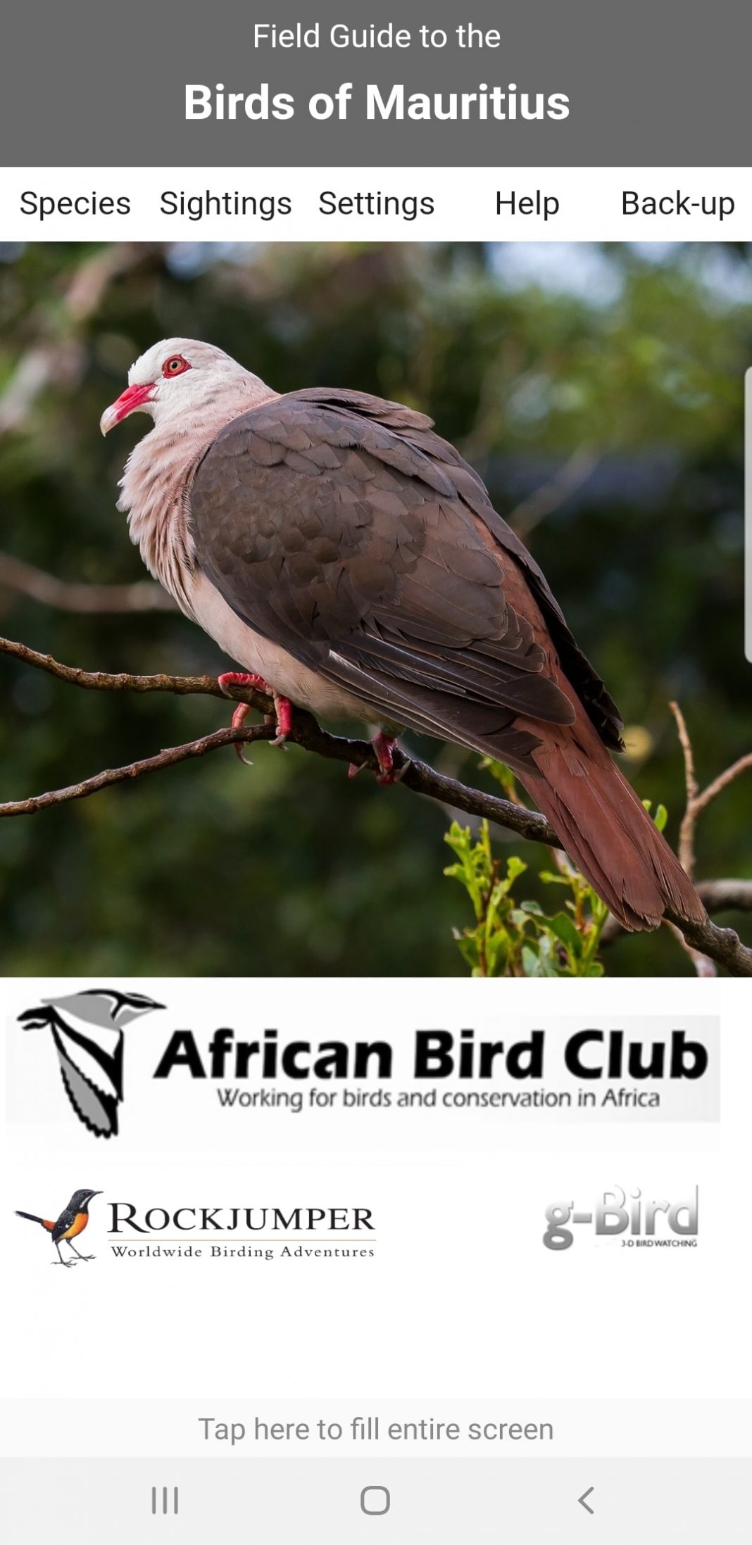
Birds of Mauritius app
Birds of Mauritius is a field guide birding App that include all the bird species found on Mauritius and Rodrigues. The App was developed in collaboration with African Bird Club (the first in Africa) and can be used by ornithologists, birders, tourists, and anyone with a general interest in birds. There is a plethora of information available for each species, including calls, images, text, and helpful maps. The app can be downloaded freely from Google Play and App Store.
Use of decoys and sound in the Masked Booby attraction project
In May 2022, a new project was launched on Round Island; it aims to attract Masked Boobies from Serpent Island, an island two kms away that hosts the only breeding colony of the species around Mauritius.
To attract these birds, we use loudspeakers that are playing Masked Booby call playbacks at regular intervals, and decoys, that are close replicas of the real bird. With the help of these devices, a re-colonisation may occur in the near future, if the island is suitable for the species. To be able to detect Masked Booby interest in Round Island, a camera trap system has been installed, which is movement automated; if any bird flies past the camera, it will take a photograph. We are hoping that it will be of a Masked Booby!

Use of geolocators on the Round Island Petrel project
The Round Island Petrel (Pterodroma arminjoniana), is listed as vulnerable by the IUCN Red List and Round Island is the only known breeding colony for this bird in the Indian Ocean. This seabird is a hybrid of three species of petrels that breed on Round Island.
The Round Island Petrel is monitored throughout the year by our staff on Round Island. The bird offers a perfect subject for different studies on Pterodroma petrels, which usually breeds in remote locations, where their observation possibilities are limited.
Since November 2009, geolocators (also known as Global Location Sensors or GLS) have been deployed on Round Island Petrels to investigate the spatial ecology and movements of adults and fledglings in the Indian Ocean, with the help of the Zoological Society of London (UK) and Durrell. A geolocator is a lightweight, electronic archival tracking device used in bird migration research to map migration routes, identify important staging areas, and sometimes provide additional ecological information. A geolocator periodically records ambient light level (solar irradiance) to determine location. Thanks to these devices, we have learnt that birds use much of the Indian Ocean, but also wander in the Atlantic and Pacific Oceans.
